Satellite imagery confirms damage to Chonhar Bridge, a critical Russian supply route into southern Ukraine
Satellite photographs obtained on 10 June 2026 by Radio Free Europe/Radio Liberty (RFE/RL) from the commercial imagery provider Planet Labs show visible damage to the Chonhar Bridge, a road crossing linking the Russian-occupied part of Kherson Oblast with the Crimean peninsula, three days after a reported Ukrainian strike. The images, circulated by the open-source channels War Translated and OSINT Live, also show a new floating pontoon bridge assembled alongside the damaged structure — evidence that Russian engineers are already improvising a workaround on the same reservoir.
The strike on the night of 7 June 2026 was, on the evidence now visible from orbit, substantive enough to put the permanent crossing out of service, but not decisive enough to sever Russian logistics into southern Ukraine. That combination — degraded but not destroyed — is the story the imagery tells, and it is the frame that should replace the louder claims circulating in both directions since the weekend.
What the satellites actually show
The Planet Labs frames released through RFE/RL and surfaced on Telegram by Noel Reports, OSINT Live and War Translated depict the Chonhar crossing across the Kakhovka Reservoir with a clear break in the road surface at the span nearest the occupied bank. The channel War Translated characterised the bridge as "completely inoperable"; the imagery is consistent with that, in the sense that vehicles cannot traverse the original span. A floating bridge of the standard Russian pontoon-bridge regiment type has been laid in parallel, with vehicles visible on the temporary surface. Recovery is therefore underway, not just planned.
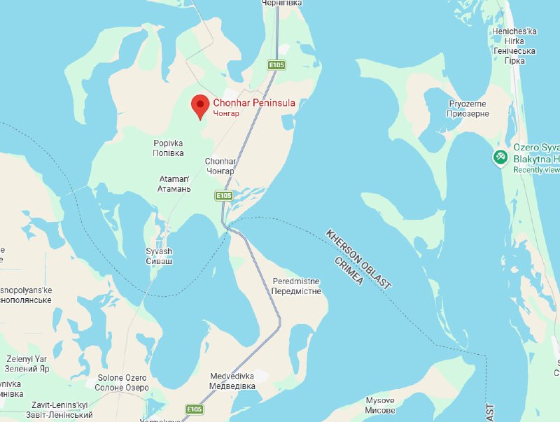
Geolocators on the open-source side have placed the Chonhar crossing on the eastern shore of the Kakhovka Reservoir, the water body that until its partial drainage in June 2023 separated the southern Ukrainian mainland from the Russian-controlled bank. After the reservoir's level dropped, the road embankment became the principal paved artery connecting occupied Kherson, occupied Zaporizhzhia and Crimea — and a single chokepoint for military traffic.
Why the crossing matters
Russian supply lines into the southern axis have compressed dramatically since 2022. With the rail bridge at Nova Kakhovka destroyed during the dam breach, the Antonivsky road bridge near Kherson city knocked out in 2023 and the Daryivka crossing repeatedly contested, Chonhar has become one of only two reliable paved road links from Crimea northward into the Russian-occupied parts of Kherson and Zaporizhzhia oblasts. Take it out, and the daily tonnage of fuel, ammunition and reinforcements flowing to garrisons on the southern bank slows to a crawl — or, in the worst case for Moscow, has to detour through Melitopol and run a much longer route west.
Ukrainian strikes on this corridor have been a recurring feature of 2025 and 2026. The Chonhar span has been hit before; each previous round has produced the same pattern: damage, pontoon replacement, continued traffic at reduced capacity. The 7 June strike appears, on the Planet Labs evidence, to repeat that pattern at higher resolution and with more decisive imagery than the earlier rounds.
The counter-claim and the limits of overhead evidence
Russian official channels have not, as of 10 June 2026, acknowledged the 7 June strike by name. Russian-aligned milbloggers have variously dismissed the imagery as "old" or framed the pontoon bridge as routine maintenance. The Planet Labs frames carry visible date stamps in the exif data, and the pontoon bridge is unambiguously a new addition — a floating structure of that length does not predate the strike. The open-source community has used side-by-side frames from before and after 7 June to make the point.
What the imagery does not resolve is the question of how much traffic the pontoon can carry. Russian pontoon bridges of this type are typically rated for light vehicles and a single lane of bidirectional flow with enforced gaps. Heavy armour and supply trucks either cannot use them or use them at a fraction of the paved-bridge rate. For the next several days, the Russian southern axis will be running on a slower pipe than it had before the weekend.
The structural pattern
A bridge hit, a pontoon laid, traffic resumes at a discount — this is the rhythm the southern corridor has settled into. Each cycle degrades the permanent infrastructure a little further and forces Russia to substitute bridging capacity that is itself vulnerable to weather, current and follow-on strikes. The pattern is a slow-strangling one, and it is the kind of attritional pressure that, multiplied across a year of pontoon cycles, is more costly to the defender than any single dramatic hit would be.
The wider structural point is that contested logistics corridors are now the main battlefield of the southern front. The static front line has not moved appreciably in months; the live contest is over road surface, rail gauge, pontoon inventory and air defence over the crossings. Ukraine's stated objective in hitting Chonhar is to thin the Russian logistics envelope enough to enable a future push across the reservoir. Russia's counter-objective is to keep the envelope thick enough that no push becomes necessary.
What remains uncertain
Three things are genuinely unclear. First, the rate at which the pontoon can be replaced if hit again — Russian engineering regiments have demonstrated the ability to lay a new one within 72 hours on this span, and there is no public evidence the tempo would change after a second strike. Second, the volume of traffic the crossing was actually carrying before 7 June — the open-source estimates range widely because Russian rail and road capacity on the southern axis is not disclosed. Third, whether Ukraine has a follow-on strike package ready, or whether this is a one-off designed to shape negotiations and morale rather than to set up a larger operation. The sources do not specify.
What is clear is that the commercial-satellite era has made this kind of strike a transparent event within hours. Three years ago, a hit on a crossing in occupied Kherson would have lived or died on Russian claims; now the Planet Labs frames are out, dated and geolocated before the dust settles. That transparency is itself part of the contest.
Desk note: Monexus has framed the strike as part of a sustained Ukrainian pressure campaign on Russian southern logistics, using the RFE/RL Planet Labs imagery and open-source geolocation as the evidentiary base. The wire cycle has been thinner on this event than the imagery warrants; the more cautious framing — degraded, not destroyed — reflects what the satellites actually show, and is the framing this publication will hold to until better evidence arrives.
Wire provenance
This editorial synthesis draws on the following public wire/social posts:
- https://t.me/noel_reports/
- https://t.me/osintlive/
- https://t.me/wartranslated/
- https://t.me/wartranslated/