Satellites are reading penguin droppings and watching a new island rise, and both stories point to the same gap
Two unrelated NASA-flavoured bulletins, one about Adélie penguin diet and one about a brand-new volcanic island north of Papua New Guinea, together expose how dependent Earth observation has become on a handful of orbiting eyes.
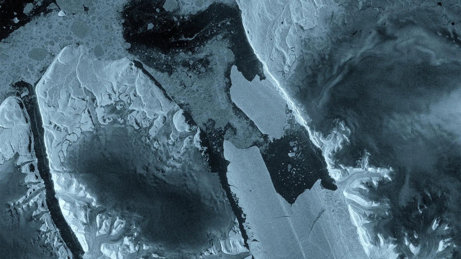
On 9 July 2026 a team of US-led scientists published a paper in which they announced they had worked out what Adélie penguins across Antarctica had been eating, without ever trapping a single bird. The trick, described in Phys.org's coverage on 9 July 2026 (15:00 UTC), is the colour of the birds' droppings. Whitish guano on the sea ice means the penguins have been eating fish; reddish-brown stains mean they have been eating krill. From orbit, the difference is easy to spot.
The same week, on 10 July 2026 (22:57 UTC), Live Science reported that NASA satellites had picked up steam plumes, ash and a thermal hotspot from a newly discovered submarine volcanic eruption north of Papua New Guinea, in one of the least-mapped stretches of ocean on Earth. A new island is being born in real time, and the only witnesses with front-row seats are orbiting platforms.
Taken separately, these are two charming science briefs. Taken together, they illustrate a quieter and more uncomfortable point: a growing share of what humans know about the planet's most remote surfaces arrives through sensors mounted on satellites owned and operated by a small number of space agencies and commercial operators. Whether the question is what an Antarctic seabird eats or whether a volcano is throwing pumice into the Bismarck Sea, the instrument of record is, increasingly, the same. That concentration has scientific, geopolitical and budgetary implications that the wire coverage rarely spells out.
Reading the ice from 700 kilometres up
The penguin study is the more imaginative of the two. According to Phys.org, scientists from a handful of US universities have been working with NASA imagery to map guano-stained ice around Adélie penguin colonies across the continent. The birds' faeces, it turns out, leave a colour signature that is visible from orbit, and that signature shifts predictably with diet. Where the ice turns red-brown, the local colony is feeding on Antarctic krill; where it stays white, the birds are running on silverfish and other finfish higher up the food chain.
The proxy is rough but powerful. Traditional diet studies require killing birds, pumping stomachs or analysing scat at rookeries. Both approaches are slow, expensive and limited to accessible colonies, which on a continent the size of Antarctica means a tiny fraction of the total population. A satellite can re-survey the entire coastline in a single pass. Over several summers of imagery, the researchers have built what amounts to a continent-wide census of what Adélies eat, and therefore of where the marine food web is still krill-dominated and where it is tilting toward fish.
That matters because krill are a leading-order variable in the Southern Ocean. They feed whales, seals, penguins and the industrial fishery that supplies omega-3 supplements and aquaculture feed worldwide. If krill availability is shifting because of warming, ice loss or changes in sea-ice extent, the satellite-derived guano map is one of the few ways to detect it at scale.
A new island, an old blind spot
The Papua New Guinea eruption sits at the opposite end of the difficulty spectrum. Live Science's reporting on 10 July 2026 (22:57 UTC) describes steam plumes, drifting ash and a clear thermal anomaly in imagery from NASA satellites, all consistent with a submarine volcano that has broken the surface north of the mainland. The new land is forming inside the Bismarck Sea, in a region that marine geologists describe as one of the most poorly mapped basins on Earth.
This is not unusual. The ocean floor in general is mapped in far lower resolution than the surfaces of the Moon, Mars and Venus. Only a fraction of the seafloor has been surveyed with modern multibeam sonar; most of what scientists know about submarine ridges and volcanic chains has been inferred from satellites measuring the bulge of the sea surface above them, not from direct observation. When an eruption happens, the first responders are almost always satellite altimetry and thermal infrared instruments, because no research vessel is close enough and no cabled seafloor observatory exists in that basin.
In that sense the new island is a publicity shot for a much bigger story. Every new seamount that surfaces, every eruption that goes unnoticed for weeks, every shift in a submarine volcano's flank that could one day trigger a tsunami is a reminder that the ocean floor is, for human purposes, still frontier territory. The tools watching it are increasingly orbital, increasingly automated, and increasingly concentrated in a handful of space agencies and their commercial contractors.
Who actually owns the sensors
This is the structural point the wire copy tends to skip past. The penguin study runs on NASA imagery. The Papua New Guinea briefing runs on NASA imagery. The altimetry that maps the shape of the ocean floor runs largely on NASA and the European Space Agency's CryoSat and Jason missions. The Sentinel constellation that supplies most of the world's free medium-resolution Earth observation data belongs to ESA and the European Union. China's Gaofen, South Korea's KOMPSAT and India's Resourcesat add coverage, but the high-cadence, openly archived archive most researchers rely on is overwhelmingly American and European.
That has practical consequences. A grant cycle, a budget cycle or a single instrument failure at one agency can quietly slow an entire sub-field. When an ageing Landsat or MODIS sensor is finally switched off, the penguin-guano project loses a colour band. When a commercial operator changes its terms, a climate-data pipeline stalls. The science is open; the platform is not.
It also has political consequences. The same satellite that confirms where penguins are eating krill also confirms where Antarctic sea ice is thinning, where methane plumes are leaking from oil and gas infrastructure, where illegal fishing fleets are operating, and where a nation's crops are wilting under drought. Each of those readings is contested somewhere. The data itself is rarely the dispute; the interpretation, the access and the latency are.
What the two stories share
Read together, the penguin paper and the new-island bulletin are about the same thing: instruments in orbit doing work that no human on the surface could do at the same scale, and the resulting dependency on a small infrastructure stack. The penguins benefit because no one is going to count guano stains by hand across 18,000 kilometres of Antarctic coastline. The new island matters because no research vessel is parked over the eruption site. In both cases the satellite is the only honest witness.
That is a comfortable position when the science is uncontroversial. It becomes more uncomfortable when the same sensors are used to estimate a country's carbon emissions, attribute damage from a flood, or watch military movements. The orbit is neutral; the politics downstream of the orbit are not.
There is a plausible counter-read: that commercial Earth observation is finally diversifying the sensor base, with constellations from Planet Labs, Maxar, BlackSky and others adding cadence and reducing single-agency risk. That is partly true for medium-resolution imagery. For the hyperspectral and thermal infrared measurements that the penguin study and the volcanic-eruption detection actually need, the public agencies still dominate. The diversification story is real, but it has not yet reached the most scientifically demanding tiers.
Stakes for the next decade
Three things are worth watching through the rest of 2026 and into 2027. First, whether NASA and ESA commit to continuity for the Landsat, MODIS and Sentinel programmes that underpin both studies; budget turbulence in any of those agencies would be felt immediately in the scientific literature. Second, whether China's growing civilian Earth-observation constellation begins to feed open archives at the same cadence, or whether the most detailed orbital record remains split between Western open data and Chinese data released under case-by-case arrangements. Third, whether the Phys.org-style studies, modest as they sound, scale up: if guano-colour work generalises to other Antarctic species and to Arctic seabird colonies, it becomes a low-cost monitoring layer for an entire biome.
The new island north of Papua New Guinea will, in time, be surveyed by ship. The penguins will keep pooping on the ice regardless of which satellite is overhead. The harder question is whether the orbital layer that lets scientists read both events from a laptop is treated as critical infrastructure, or as a budget line that can be trimmed in a tight fiscal year. The two bulletins from this week suggest it deserves the first framing.
-- Monexus framing: two unrelated science items in the same news cycle both lean on the same small set of orbital assets. The wire copy treats them as curiosities. Monexus reads them as a dependency story.